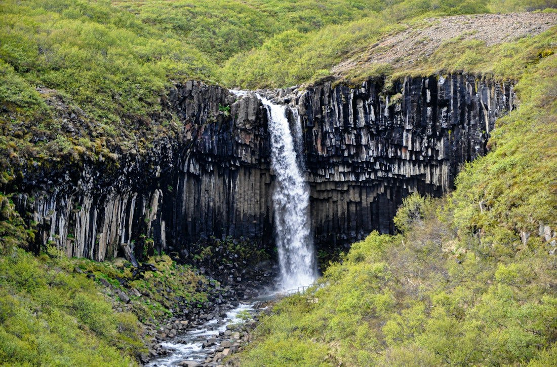
Svartifoss
It is safe to say that Svartifoss is one of Iceland’s best-known waterfalls, thanks to the way in which it is beautifully framed by unusually symmetric, thick basalt columns. These columns were formed about 300,000 years ago, when lava flowed down the Skaftafellsheiði plain and filled an old riverbed. As it slowly cooled down, the rock contracted and then split into columns that stand perpendicular to the cooling surface.
Hiking
Svartifoss - Sjónarsker - Sel
Svartifoss with its beautiful columnar rocks is one of the highlights of Skaftafell, but the path through the forest offers a unique experience at any time of the year. On the way you can admire Hundafoss and Magnúsarfoss, from Sjónskeri the views are wide to all directions in good visibility and the old sod house in Sel.
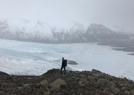
Sjónarnípa
The main advantages of this route are the magnificent view to Kristínartindar, Hrútfjallstindar and Öræfajökull, and as it gets closer, Skaftafellsjökull opens up to hikers. In the spring and early summer you can also expect a rich bird life.
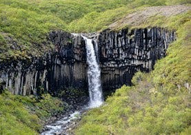
Svartifoss - Sjónarnípa
The main advantages of this route are the magnificent view to Kristínartindar, Hrútfjallstindar and Öræfajökull, and as it gets closer, Skaftafellsjökull opens up to hikers. Stopping at the pillar rock-adorned Svartafoss puts the dot on the i. In the spring and early summer, there is a rich birdlife on the way, which is worth enjoying while taking into account nesting and rearing activities.
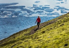
Skaftafellsheiði
Walking around Skaftafellheiðina offers a challenging but interesting walk through a varied landscape; Lush birch forest and mountainsides with the Morsárjökull and Skaftafellsjökull glaciers on either side of the heath and the flat Skeiðarársandur in the south.
Kristínartindar
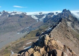
Walking to Kristínartinda, in good visibility, offers a view of the mountains in Öræfi, the southernmost part of Vatnajökull and the sandy beach of Skeiðarársandur. The hike is difficult and only for experienced hikers. The trail mostly follows the same route as the route around Skaftafellsheiði, except for the top part along the peaks themselves.